Austria
|
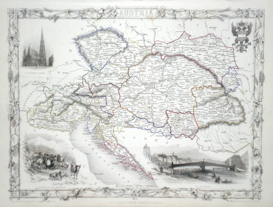
Austria Rapkin, J. (1851) 36 x 26 Fine map of the Austrian Empire by John Rapkin, for John Tallis's highly decorative "The Illustrated Atlas". The vignettes show; Vienna, St. Stephen's Vienna, Return of the Sennerin. The map shows Bohemia, Hungary, Transylvania etc.. Single page map (no central fold). Original colour as published. Condition fine. 85.00 GBP |


|
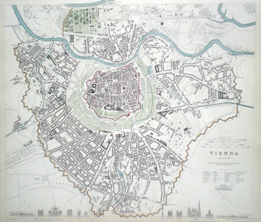
Austria Vienna Henshal, J. (c. 1837) 38 x 34 Finely engraved plan of the city by Henshall for the Society for the Diffusion of Useful Knowledge. Features include a comparison of the main building engraved along the bottom line. Early colour with additional Later colour. 80.00 GBP |
|
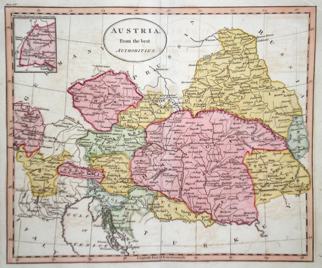
Austria 'Austria from the best Authorities' Russell, J. (1818) 23 x 19 Austria from Guthrie's Geography. Engraved by John Russell. The area shown of South Central Europe includes modern day Croatia and Hungary. 50.00 GBP |
|
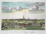
Austria 'A View of the City of Vienna' c. 1760 22 x 17 Panorama of the City as in 1760. Traces of old folds, a short repaired tear and two small repaired wormholes, but othewise a clean and crisp copy. Later hand colour. 40.00 GBP |
|
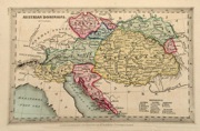
Austria 'Austrian Dominions' Starling, T. (c. 1832) 15 x 9 Uncommon and finely engraved map of the Austrian Empire from The Royal Cabinet Atlas. Bright original colouring to the various countries. A numbered key identifies the various provinces. 35.00 GBP |
|
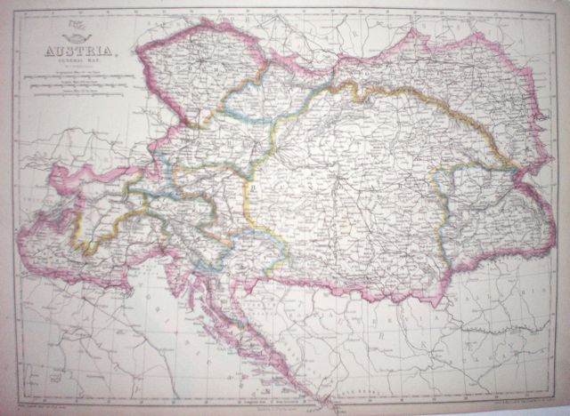
Austria 'Austria, General Map' Dispatch Atlas (1863) 43 x 32 Early outline colour. 20.00 GBP |